|
||||||||||||||
|
|
||||||||||||||
|
Bird Information
|
||||||||||
|
Resources Species lists and information Maps Checklists Keys |
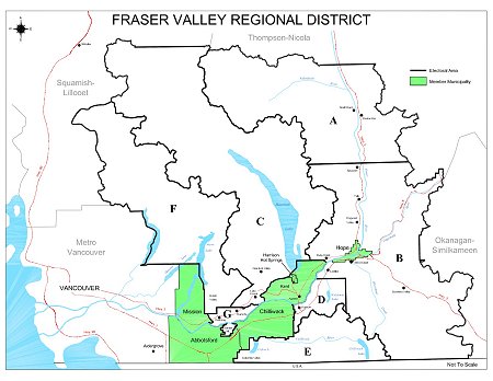
Fraser Valley Checklist Area
|
|||||||||
|
||||||||||
|
||||||||||
|
||||||||||||||
|
|
||||||||||||||
|
Bird Information
|
||||||||||
|
Resources Species lists and information Maps Checklists Keys |
Fraser Valley Checklist Area
|
|||||||||
|
||||||||||
|
||||||||||